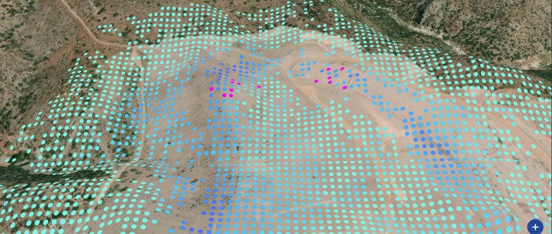
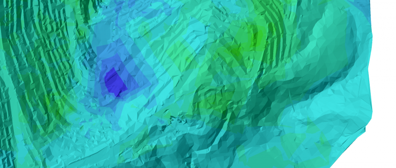
Mine stability monitoring with satellite InSAR One of the main challenges in the mining sector is the monitoring of ground behaviour over large assets, which often experience displacement due to operational activities. Slope instability in particular can be a significant threat to the integrity of mine sites and staff safety. Regular and accurate site stability…
Category: Product
Rocscience 3D Slope Stability Programs now
integrated with our Satellite InSAR Data
Rocscience and TRE ALTAMIRA join forces to bring satellite InSAR displacement data together with 3D slope stability modelling in Slide3 and RS3 programs. Incorporation of displacement data into Rocscience's Slide3 and RS3 programs will be a simple matter of importing a shapefile which is exported from our databases of InSAR measurements obtained using SAR imagery.…
Land motion over UK mapped with unprecedented accuracy
TRE ALTAMIRA has processed more than 7,000 satellite radar images acquired over the UK since 2015 to generate a nation-wide database of displacement measurements with unprecedented accuracy. Our pioneering experience of national-scale processing dates back 10 years when we were involved in the processing of the entire European Space Agency radar satellite data archive acquired…
TREmaps® – a unique, renewed web-based platform by TRE ALTAMIRA
Finding the best way to deliver, visualize and manage displacement information from radar satellites in a user-friendly environment has been a priority at TRE ALTAMIRA as well as a key requirement from our clients. Today, we are excited to release TREmaps® to the market: an old name for a totally renewed platform, accessible anywhere with…
The Hydrology Thematic Exploitation Platform
We have generated new flood maps using SAR images in the framework of the Hydrology Thematic Exploitation Platform (TEP). The TEP for Hydrology is an ESA Portal providing large scale Earth Observation (EO) products and services customised for hydrological applications. TRE ALTAMIRA has developed an algorithm to obtain hydrological products (water mask, flood maps and…