
TREmaps®, our data visualization and analysis platform, just got a major update!
As the volume and frequency of monitoring projects powered by InSAR continue to grow, the ability to access, visualize, and interpret that data quickly is critical for mining, oil and gas, and infrastructure practitioners.
The new TREmaps® interface represents the latest milestone in our InSAR data access strategy.

This major update is a direct response to two core drivers: the accelerating pace of technology and the increasing need to derive actionable insights as quickly as possible.
Our primary focus with this upgrade was to increase the range of features while preserving the slick user experience and the signature fast performance.
Key benefits:
The updated platform streamlines your entire workflow, offering:
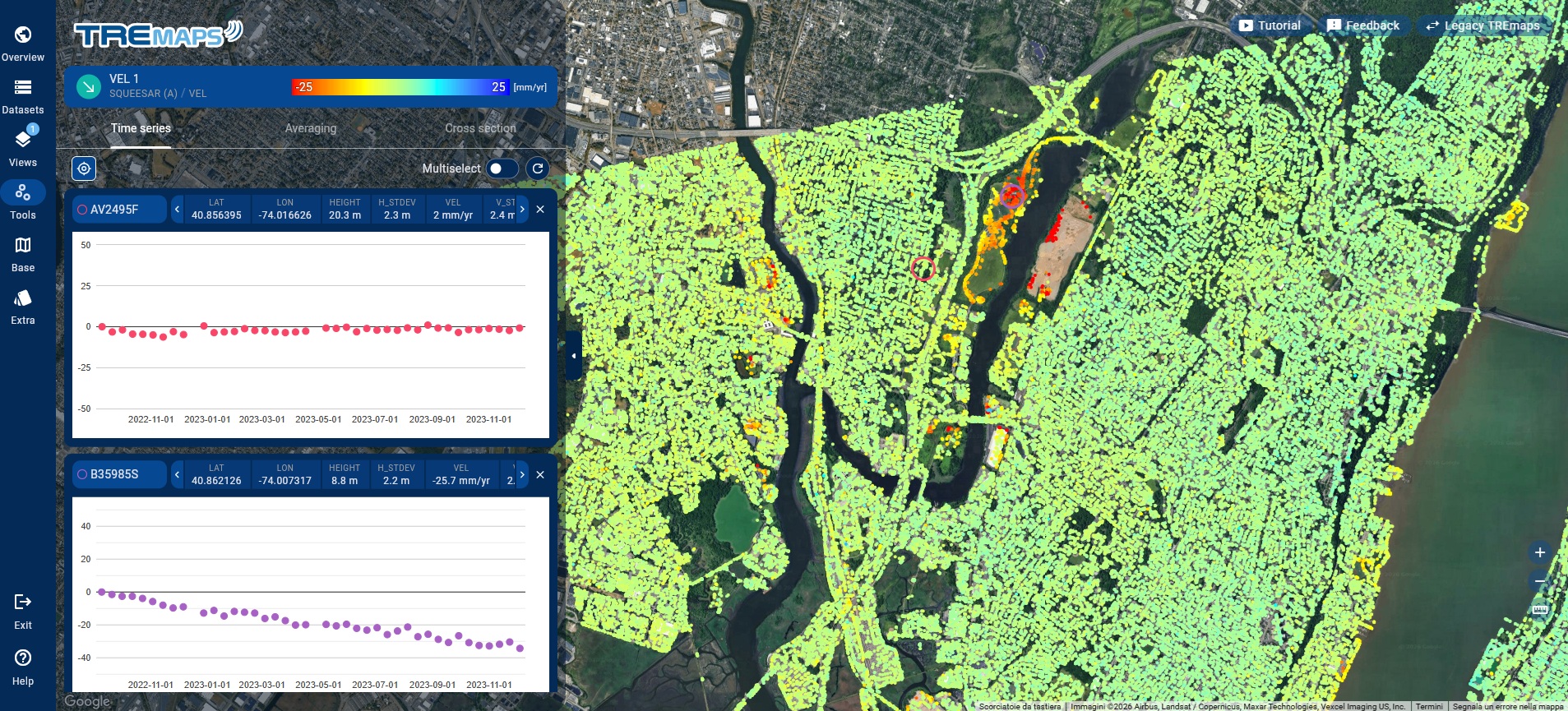
- Advanced analysis and management: Interrogate individual points to see full movement histories, detect seasonal trends, or define specific areas of interest (AOIs) for localized deformation statistics
- Streamlined interaction: Query and isolate critical areas with unmatched speed and fewer clicks using dynamic filters for velocity thresholds and date ranges
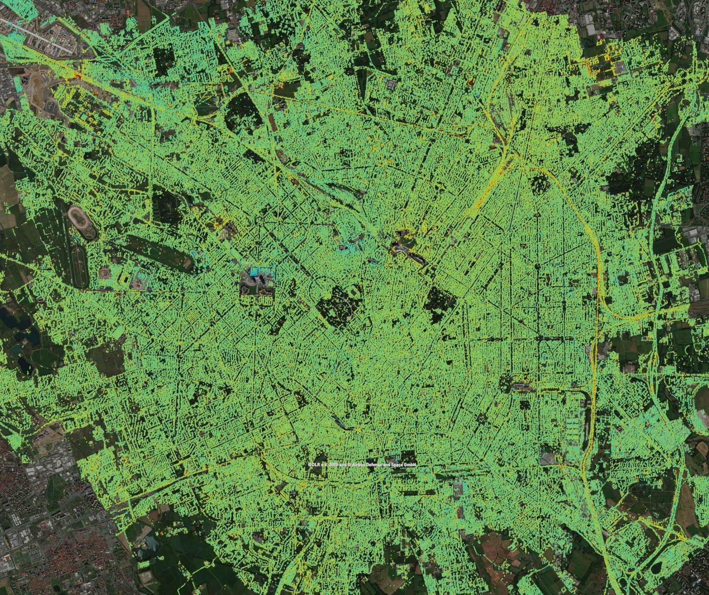
- Superior visualization: Personalize your view by combining multiple layers, including external WMS/WMTS public services, and generating cross-section profiles for linear infrastructure
- Enterprise integration:Built on Google Maps for global reliability, the platform offers flexible exports (SHP, CSV, KML) and robust API access for automated workflows
- Critical security: Developed in-house by TRE ALTAMIRA, the platform ensures your data remains consistent and protected via role-based access
Visit the TREmaps® page and contact us at sales@tre-altamira.com to request more information.