
 Written by
 TRE ALTAMIRA has set a new benchmark in satellite radar interferometry by successfully completing its first full SqueeSAR® analysis using a data stack from the NASA-ISRO SAR (NISAR) mission.
Using a stack of 8 Range-Doppler Single Look Complex (RSLC) images captured over San Francisco, California, between October 27, 2025, and January 19, 2026, our team has proven that SqueeSAR®, the world’s most widely deployed InSAR algorithm, is fully primed to harness next-generation L-band satellite capabilities. The data, recently made available by the NASA Jet Propulsion Laboratory, represents a critical step forward as the mission transitions toward full-scale commercial availability.

NISAR and its impact on TRE ALTAMIRA’s solutions
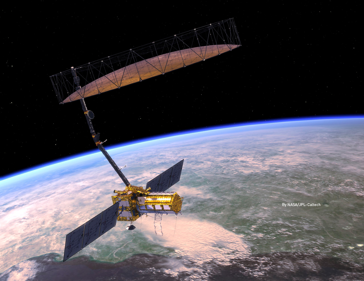
Since its successful launch in mid-2025, the NASA-ISRO Synthetic Aperture Radar (NISAR) mission has marked a turning point for the Earth Observation community. As the first dual-frequency (L-band and S-band) radar imaging satellite, NISAR provides systematic, highly detailed global coverage with a 12-day repeat cycle.
Why the NISAR & SqueeSAR® synergy changes the game
The NASA-ISRO SAR satellite utilizes an innovative SweepSAR tracking technique to acquire high-resolution, wide-swath data globally. By integrating this advanced data stream into our proprietary SqueeSAR® processing chains, TRE ALTAMIRA can deliver unrivaled monitoring intelligence to our clients, particularly across complex and challenging environments:
- Superior coherence in dense vegetation: Operating at a longer wavelength (~24 cm), NISAR penetrates dense canopies, maintaining phase coherence in heavily vegetated terrain where C-band signals often decorrelate. This fundamentally changes our ability to monitor active landslides, mining operations, and critical infrastructure in rural or forested environments.
- High gradient deformation tracking: NISAR’s L-band wavelength is suited to resolve large displacement gradients—up to 10 cm of movement between adjacent pixels. This ensures seamless phase unwrapping and continuous measurement in rapidly moving hazard zones, such as open-pit mines or accelerated landslides.
TRE ALTAMIRA is ready to incorporate operational NISAR data into active client projects. As the official global data archive continues to expand, its integration in our processing chain paves the way for the next generation of displacement monitoring, ensuring our clients receive world-class geohazard intelligence to safeguard infrastructure and mitigate risk.