Keep your mine safe and compliant: Measure deformation from millimetres to metres over all mining surfaces and assets with InSAR
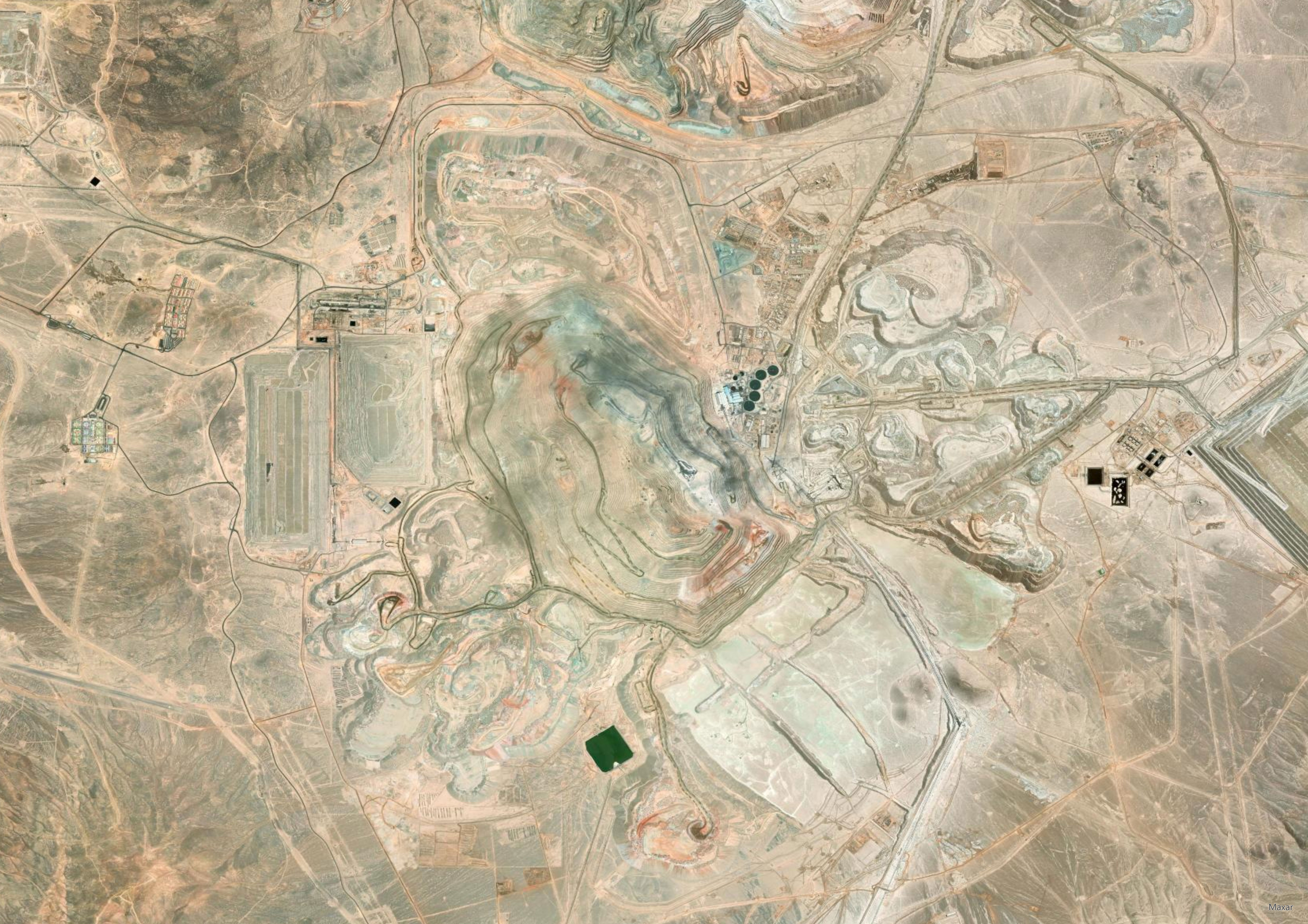
A comprehensive overview of millimeter-scale ground motion monitoring.
Get actionable reports on surface trends and stability changes across your entire site.
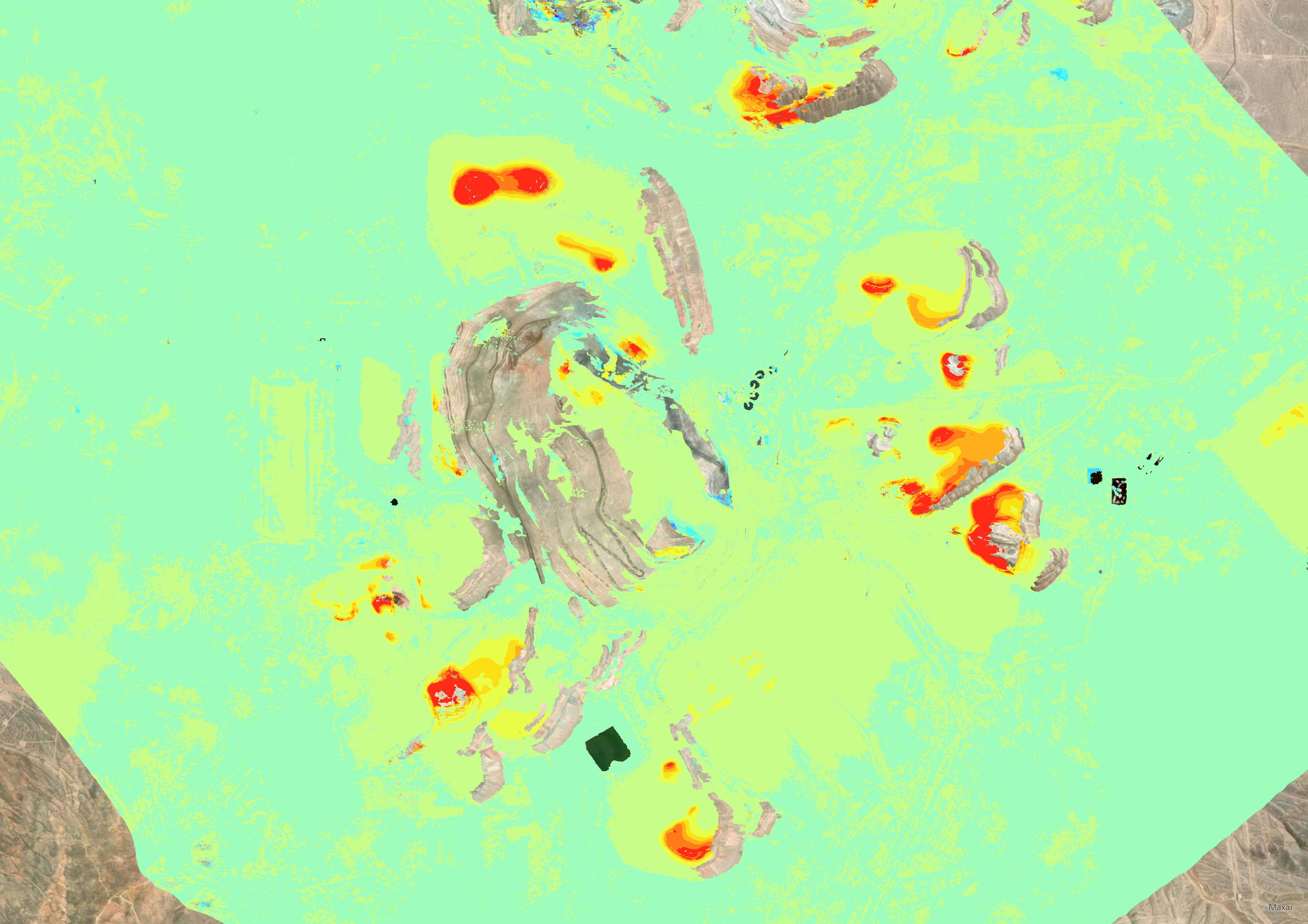
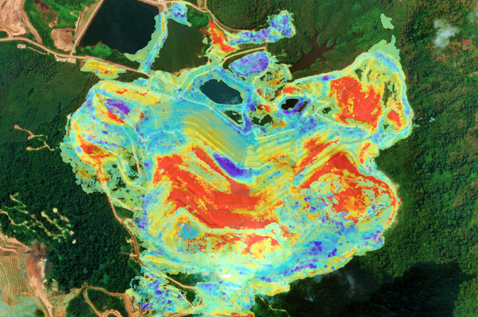
Color-coded deformation maps highlight shifting trends at a glance — giving you the precise magnitude and extent of movement from millimeters to meters.
- Frequent monitoring: Survey all geotechnical assets on a weekly/bi-weekly basis with frequent satellite monitoring
- Tailored service: Aligning our monitoring service features and frequency with your site-specific conditions and challenges
- Fast data screening: Rapidly identify anomalous areas and trend changes with analysis tools built to sift through millions of data points.
- Seamless software integration: Import InSAR data directly into third-party and GIS environments using our set of export features and API-integration capabilities
- 30+ years of historical archives: Investigate past events or legacy sites, accessing data archives dating back to 1992


Tailings dam stability
Use InSAR to monitor the smallest to the largest dams without the need for on-site visits or installations.
Tailings dam failures are extremely detrimental to mine productivity. Surface deformation and unattended fractures are common precursors for such costly and harmful events.
- Request frequent updates on the consolidation level and eventual horizontal slips
- Track active displacement zones alongside pond and moisture dynamics
- Benefit from our remote measurements when access is limited for conventional surveying techniques
Solutions for pit monitoring
Our InSAR mapping service complements in-situ instrumentation, providing an overview of slope movements.
Open pit operations pose many challenges in terms of safety-critical monitoring.
- Investigate slope movements on a weekly basis, utilizing InSAR's mm-sensitivity, even when precursors are not visible to local alarming facilities
- Easily integrate InSAR data with other geodetic measurements in major monitoring platforms
Waste dump instability
Expand monitoring coverage to include all critical assets with InSAR.
Waste dumps require continuous safety oversight. InSAR tracks millimeter-scale displacements, providing an early warning of potential slope failures.
- Maximize coverage across all surfaces, active and non-active
- Remotely mitigate slope failure risk without the need for in-situ installations
- Complement existing ground-based instruments by providing a mine-wide understanding of instabilities
Underground - Block caving subsidence mapping
Frequent InSAR updates are delivered to surveyors for optimal integration and geotechnical teams for subsurface modelling.
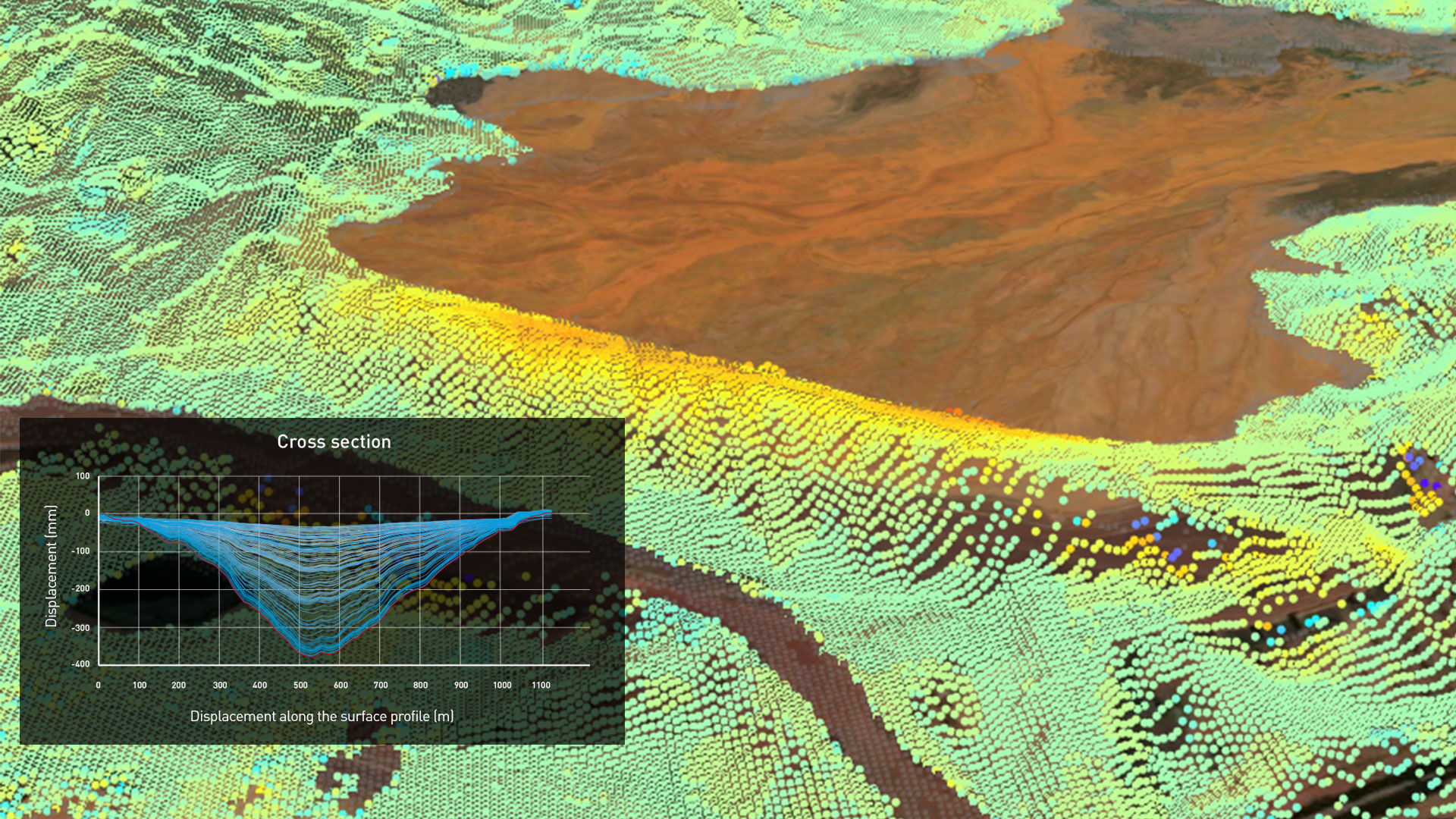
Block caving operations pose serious challenges when dealing with surface displacement monitoring. As heavy subsidence is normal for deep operations, it is essantial to monitor its impact on existing infrastructures to assure service continuity.
- Analyse complex subsidence patterns with InSAR (up to hundreds of measurement points per km2)
- Rely on millimetre-precision vertical displacement measurements
This slideshow requires JavaScript.