
TRE Altamira is honoured and proud to announce its partnership in a team awarded the contract to provide the continent’s first-ever European Ground Motion Service. The award, by the European Environment Agency (EEA) as part of the Copernicus Land Monitoring Service, is made to a collaboration comprising e-Geos (Coordinator), TRE Altamira, NORCE and GAF, plus several key subcontractors.
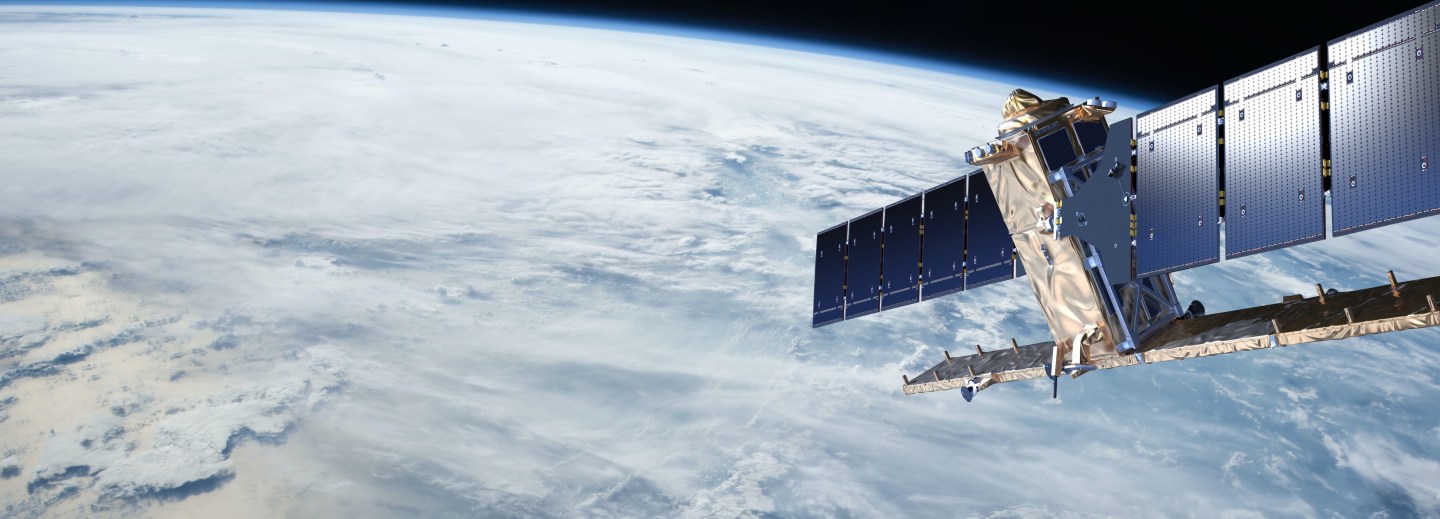
The European Ground Motion Service (EGMS) will provide continental-scale, homogeneous maps of ground motion to mm-per-year precision. The maps will be made by the mass-processing of data collected by Copernicus’s Sentinel-1 Earth observation constellation, using a technique known as Synthetic Aperture Radar Interferometry (InSAR). Higher-level products will be tied to a newly-developed GNSS framework to give calibrated measurements, and all will be delivered via a dedicated web-GIS allowing visualisation, analysis and download. First products will provide ground motion data covering 2015 to 2020, followed by ongoing annual updates. Besides the core service, EGMS will also provide a range of support activities aimed at increasing awareness, education, and stimulating uptake for the benefit of all in academic, public and private scenarios.
InSAR is a powerful technology able to disrupt conventional surveying methodologies; non-invasive, wide-area, high-precision, repeatable, and uniquely, a historical archive enabling a look to the past for baselining and assessing trends. Although InSAR is a proven technology, with many mature applications, only recently has the right radar data been available, along with the computing power and expertise necessary to process the initial 1.5 PB of radar data needed to cover the entire European continent. EGMS will in fact yield the world’s largest geospatial dataset to date, with billions of measurement points, each with its own time-series – a data-scientist’s dream!
The EGMS project is expected to kick-off in January 2021 with work starting on the initial five-year baseline. An evolving EGMS Community on Interest will be established through which project information and feedback will be shared. Watch this space!
TRE Altamira is the acknowledged, global and pioneering leader in the provision of InSAR services for the satellite detection and measurement of ground and structural motions. With a global presence and over 20 years’ experience in InSAR, TRE Altamira offers its clients timely and reliable information over wide areas to mitigate risk, optimise operations and plan future operations. TRE Altamira is a CLS Group company with main offices in Milano, Barcelona and Vancouver.
Copernicus Land Monitoring Service is the European Union’s Earth Observation Program, looking at our planet and its environment for the ultimate benefit of all European citizens. It offers free-to-all data and information services based on satellite Earth Observation and in situ (non-space) data.