
TRE ALTAMIRA is part of IRIDE, Italy’s flagship space program for Earth Observation
IRIDE is one of the most important space programs for Earth Observation and a major component of the Italian National Recovery and Resilience Plan (NRRP). The NRRP is part of Next Generation Eu and defines a broad and ambitious package of investments and reforms to unleash Italy’s growth potential. The IRIDE program, 100% made in Italy, will implement a system that includes upstream and downstream components to provide geospatial services at national and potentially continental levels, both to public administration and private customers.
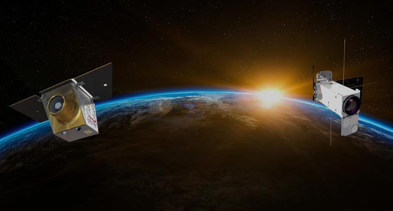
IRIDE will consist of a constellation of 35 satellites of various types and sizes, combining SAR, optical, panchromatic, hyperspectral, and infrared sensors. The constellation will be completed by 2026 with support from the European Space Agency (ESA) and the Italian Space Agency (ASI). It will help the Civil Defense Department and other administrations deal with hydrogeological disruption and fires, protect coastlines, and monitor critical infrastructure, air quality, and weather conditions.
TRE ALTAMIRA, together with e-Geos, Nhazca, Planetek, and several subcontractors in the Italian aerospace industry, has been awarded the tender related to the production of ground motion services. In the first part of the project, the key players will work to create a comprehensive ground deformation database for the Italian territory, using C, X, and L-band SAR sensors from the Copernicus Contributing Missions. This deformation database will be expanded through the incorporation of data from the IRIDE constellation, to provide one of the most complete earth observation systems ever conceived. The project will also create service value chains for the generation of second-level, value-added products.
TRE ALTAMIRA will be responsible for the service value chain for landslide monitoring, the production of L-band InSAR data in the Appennini area (which corresponds to one-third of the Italian territory), and the production of X-band InSAR data in other sensitive areas.
The products and services portfolio will evolve throughout the execution of the project, starting from the state of the art and progressively incorporating requirements and suggestions provided by top-notch Pilot users, engaged from the very beginning of the activities – which started at the beginning of April 2023.