
About TRE ALTAMIRA
关于我们
TRE ALTAMIRA, a CLS Group company, is the world's leading provider of satellite-based ground displacement monitoring, with 25 years of InSAR experience and main offices in Milan, Barcelona, Vancouver, and Melbourne.
TRE ALTAMIRA团队是全球领先的星载遥感地表位移监测团队,拥有 25 年的 InSAR(合成孔径雷达干涉)行业经验。作为CLS 集团旗下公司, TRE ALTAMIRA团队的主要办事处位于米兰(意大利)、巴塞罗那(西班牙),温哥华(加拿大)及墨尔本(澳大利亚),并在全球主要国家设有办公室。
Using its advanced SqueeSAR® algorithm, TRE ALTAMIRA delivers millimeter-precision measurements and mapping solutions, enabling clients to mitigate risk and optimize operations across diverse sectors, including oil & gas, mining, civil engineering, and geohazard monitoring.
通过先进的SqueeSAR®算法,TRE ALTAMIRA团队提供毫米级精度的测量和测绘解决方案,使客户能够降低由地表形变带来的风险,并优化石油天然气、采矿、土木工程和地质灾害监测等多个领域的运营及监测方案。
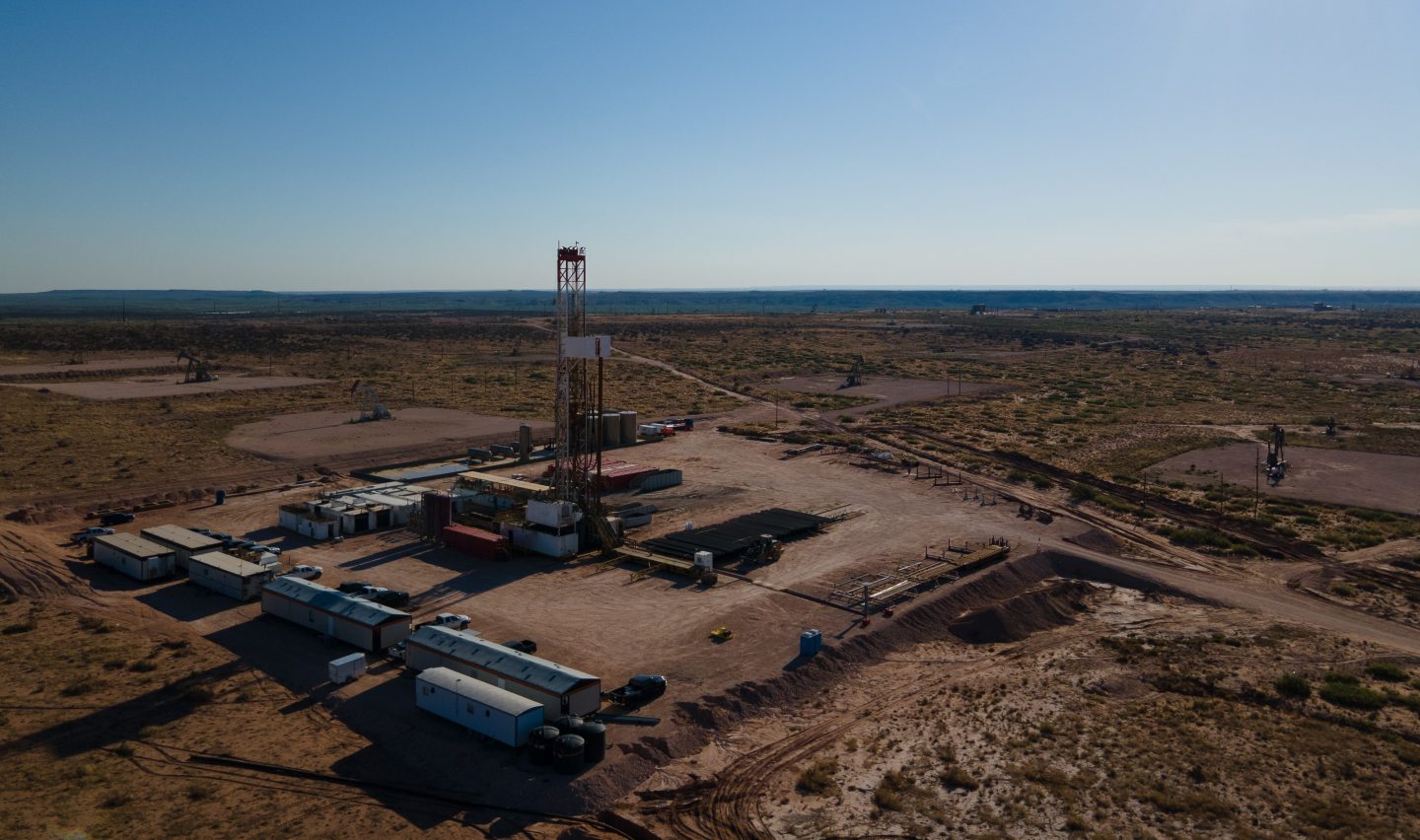
Satellite-based InSAR operates without the need for in-situ instruments, and provides a scalable solution for analyzing areas of any size, complementing conventional survey techniques.
星载InSAR测量技术无需现场仪器即可运行,并提供可扩展的解决方案来分析任何规模的区域,是对传统测量方法的有效补充。
TRE ALTAMIRA's multidisciplinary team offers a detailed and personalized approach to client needs, serving small operations to large multinational corporations and governmental institutions worldwide.
我们的多学科团队与全球客户合作,根据每位客户的具体情况提供详细且个性化的方案,可满足中小企业、跨国公司以及政府机构等各种类型客户的需求。
As pioneers in advanced InSAR techniques, TRE ALTAMIRA continues to invest in research and development, delivering faster, more informed decision-making tools.
作为InSAR领域的先驱,我们保持对技术研发进行持续投入,致力于帮助客户更高效地做出可靠的决策。
Monitor ground motion, optimize production strategies, support reservoir management, facilitate HSE regulatory compliance
监测地表位移,优化生产策略,辅助油气藏管理,保障HSE法规的实施
Reservoir monitoring
油气藏监测
InSAR results enable you to monitor the evolution of ground elevation changes.
InSAR分析的结果可以让您掌握地表的形变情况。
InSAR results, either as interferograms for a fast snapshot of reservoir deformation or SqueeSAR® as a measure of motion to millimetre accuracy, enable monitoring of ground elevation changes to:
无论是能够快速呈现油藏地表形变的差分干涉图,还是具有毫米级测量精度的SqueeSAR®时序结果,均可实现对地表高程变化的精确监测,并能够::
- Monitor differential motion and reservoir compartmentalisation
监测差异性运动和油藏分隔性 - Detect fracture and fault systems
探测裂缝与断层系统 - Calibrate reservoir models
校准油气藏模型 - Detect caprock integrity
检测盖层完整性 - Detect casing failures
检测是否有套管损伤情况 - Meet HSE regulatory requirements
助力HSE法规的实施

EOR and heavy oil production
提高采收率 (EOR) 和稠油开采
Rapid image acquisitions and fast delivery of results allow InSAR to be part of your operational plans.
高频次图像采集和高效结果交付使InSAR技术能够深度融入您的运营计划。
Our InSAR maps show the evolution of surface displacement as a response to operations over the entire reservoir, as well as around injection and production wells to:
我们的InSAR分析能够涵盖整个油藏、注水井、生产井及周边地区,可对因开采活动引发的地表形变及其演化过程实现可视化,助力以下目标:
- Assist in optimizing injection and production strategies
优化注采方案 - Detect steam chamber expansion and caprock integrity
探测蒸汽腔的扩展以及盖层完整性 - Locate off-lease uplift related to fugitive injection of water, steam and CO2
定位由水、蒸汽和二氧化碳注入引起的地表形变 - Look for swept and unswept areas of the producing horizon
识别生产层中已受流体影响和未受影响的区域 - Detect injector casing failure
检测注水井是否出现套管故障 - Validate results within and outside of tiltmeter and GPS networks
验证并补充完善倾斜仪和GPS监测网络的测量结果

Underground gas storage
地下储气库
Monitor ground uplift and subsidence in response to injection and extraction cycles.
监测因周期性注气和采气引起的地表抬升和沉降
In both depleted natural gas reservoirs, now repurposed as gas storage assets, and solution mined storage caverns, our highly precise displacement measurements enable you to:
对于已改造为储气库的枯竭天然气藏以及盐穴储气库,我们高精度的位移测量能够监测周期性形变,助力以下目标:
- Optimize working gas, when coupled with injection and extraction rates
结合注气和采气速率,优化有效工作气量 - Fulfill regulatory cap rock integrity monitoring obligations
满足监管机构对盖层完整性监测的要求 - Estimate reservoir volume and pressure changes
辅助估算储气库体积和压力的变化 - Monitor possible impact on surface facilities
监测形变可能对地面设施造成的影响 - Calibrate reservoir model and salt cavern creep calculations
校准储气库模型和盐穴蠕变计算

Offshore platform subsidence
海上平台沉降监测
InSAR provide measurements of platform subsidence.
InSAR能够对平台的沉降进行测量。
Fixed offshore production rigs are clearly visible to satellite and can host many coherent point targets for subsidence monitoring with InSAR to unprecedented levels of precision. By using high resolution SAR imagery, we can provide:
固定的海上生产平台可以提供许多信号相干的点目标,因此可以利用InSAR技术对其沉降进行高精度监测。通过使用高分辨率SAR卫星影像,结合SqueeSAR®算法,我们可以提供:
- Subsidence measurements of offshore platform
海上平台沉降位移测量 - Estimation of the platform tilt
平台倾斜度估算

Interested in what we can do for you?
对我们的服务感兴趣吗?
-
Talk to our sales team
联系我们的团队