

Tunneling | InSAR surveillance | Subsidence Claims

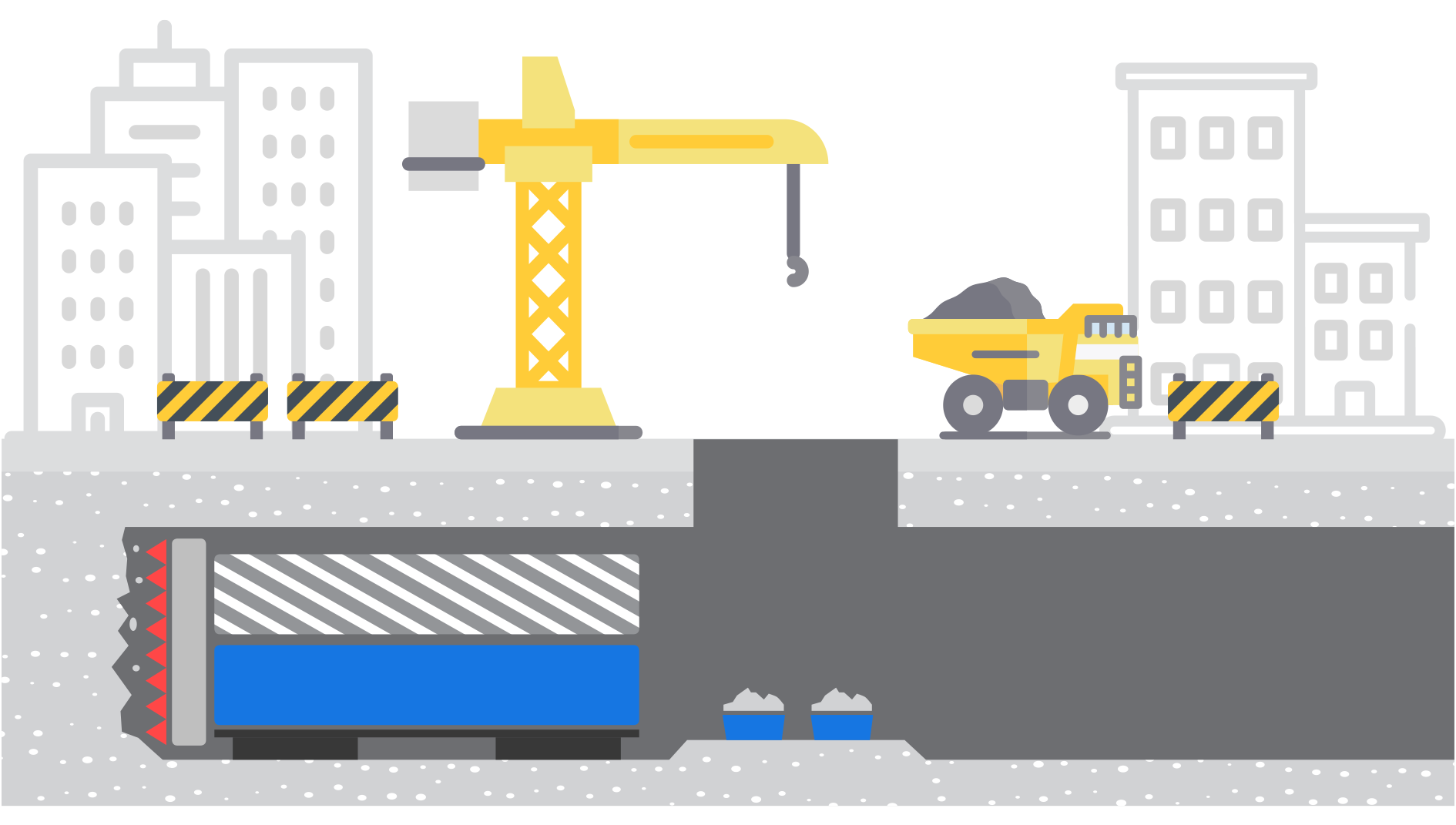
The Grand Paris Express (GPE), with 200 km of underground metro lines, is the largest tunneling project worldwide to use satellite InSAR for monitoring the surface impact of this extraordinary urban development project in Paris.
- 68 new stations
- 200 km of underground metro lines
The Société du Grand Paris has chosen TRE ALTAMIRA to monitor the impact of tunneling operations on existing buildings and surface structures along the track and adjacent areas - 1km-buffer zone centred on the network route - using InSAR.
Historical InSAR Study
to complement existing geotechnical information and to settle subsidence claims.

Before any construction work, InSAR was applied to map historical ground motion and provided an extensive inventory of soil surface behaviour from April 1992 to March 2015, including the identification of vulnerable structures.
InSAR Monitoring
during construction to assess the magnitude of surface motion and its real distribution.
By providing a density up to 10.000 points of measurements/km², InSAR is also used to complement and calibrate real-time in-situ surveillance (leveling, inclinometres, etc.).
Post-construction
InSAR monitoring to scale back in-situ measurements.

After work completion, InSAR monitoring will be employed to detect any residual subsidence or soil compaction, which might affect surface structures.
