About TRE ALTAMIRA
关于我们

TRE ALTAMIRA, a CLS Group company, is the world's leading provider of satellite-based ground displacement monitoring, with 25 years of InSAR experience and main offices in Milan, Barcelona, Vancouver, and Melbourne.
TRE ALTAMIRA团队是全球领先的星载遥感地表位移监测团队,拥有 25 年的 InSAR(合成孔径雷达干涉)行业经验。作为CLS 集团旗下公司, TRE ALTAMIRA团队的主要办事处位于米兰(意大利)、巴塞罗那(西班牙),温哥华(加拿大)及墨尔本(澳大利亚),并在全球主要国家设有办公室。

Using its advanced SqueeSAR® algorithm, TRE ALTAMIRA delivers millimeter-precision measurements and mapping solutions, enabling clients to mitigate risk and optimize operations across diverse sectors, including oil & gas, mining, civil engineering, and geohazard monitoring.
通过先进的SqueeSAR®算法,TRE ALTAMIRA团队提供毫米级精度的测量和测绘解决方案,使客户能够降低由地表形变带来的风险,并优化石油天然气、采矿、土木工程和地质灾害监测等多个领域的运营及监测方案。

Satellite-based InSAR operates without the need for in-situ instruments, and provides a scalable solution for analyzing areas of any size, complementing conventional survey techniques.
星载InSAR测量技术无需现场仪器即可运行,并提供可扩展的解决方案来分析任何规模的区域,是对传统测量方法的有效补充。

TRE ALTAMIRA's multidisciplinary team offers a detailed and personalized approach to client needs, serving small operations to large multinational corporations and governmental institutions worldwide.
我们的多学科团队与全球客户合作,根据每位客户的具体情况提供详细且个性化的方案,可满足中小企业、跨国公司以及政府机构等各种类型客户的需求。

As pioneers in advanced InSAR techniques, TRE ALTAMIRA continues to invest in research and development, delivering faster, more informed decision-making tools.
作为InSAR领域的先驱,我们保持对技术研发进行持续投入,致力于帮助客户更高效地做出可靠的决策。

Safeguarding linear infrastructure & pipelines with satellite InSAR
利用星载InSAR测量技术,保障线性基础设施和管道

Linear infrastructure projects such as pipelines, roads, railways, and power lines, present unique monitoring challenges due to their vast extents and varying terrains. Ensuring the integrity and safety of these assets is critical, especially in the face of increasing natural hazards and urbanization. TRE ALTAMIRA's advanced InSAR (Interferometric Synthetic Aperture Radar) technology provides a powerful solution for monitoring and mitigating risks along these critical infrastructures.
管道、公路、铁路和电力设施等线性基础设施区域通常具有范围广且地形多变的特点,因此对于此类设施的监测面临着严峻的挑战。在自然灾害日益加剧和城市化进程加速的当下,确保这些设施的安全性至关重要。通过我们先进的SqueeSAR®算法,TRE ALTAMIRA团队提供毫米级精度的地表位移测量服务,为监测和减轻这些关键基础设施沿线的形变风险提供了高效可靠的技术支持。

Ground movement and pipeline integrity
地表形变与管线安全性

Ground movement, particularly landslides, is a major threat to pipeline integrity, contributing to nearly half of all pipeline ruptures. These displacements can cause pipeline deformation, including angular distortion and horizontal strain, leading to cracks, leaks, or catastrophic failures. While pipelines boast a lower incident rate compared to other transport methods, the consequences of a failure can be devastating, impacting the environment, public safety, and the economy.
地表形变,特别是滑坡,是管线安全性的主要威胁之一,近一半管道破裂事故的成因与之相关。发生在管道沿线区域的滑坡及其造成的位移会导致管道变形(包括角度扭曲和水平应变)从而导致管道出现裂缝、泄漏甚至完全破裂。运输管线一旦发生上述故障,可能对环境、社会及公共财产安全造成大规模甚至灾难性的影响。

InSAR: A vital tool for monitoring
InSAR:重要的监测工具

TRE ALTAMIRA's InSAR technology offers a comprehensive and efficient method for monitoring vast stretches of linear infrastructure, even in remote and challenging environments. By detecting early signs of ground movements like subsidence and landslides, InSAR enables proactive intervention and risk mitigation.
TRE ALTAMIRA团队的InSAR技术可以有效地针对地表形变(例如沉降,滑坡)进行广域、高分辨率监测,特别是在偏远且难以到达的地区,该技术可实现对地表位移早期迹象的精准检测,对于管道的维护提供至关重要的信息。应用InSAR形变分析的数据,可对具有相似移动速率的区域进行分类,从而实现对高形变风险管段的识别,为预见性维护提供保障。

Distribution of InSAR measurement points around a pipeline alignment. The buffer analysis helps classify areas by their stability. Original Data provided by JAXA. 图像显示管道沿线InSAR测量点的分布情况。区域化风险分析有助于根据不同稳定性对不同区域进行划分。
Linear Infrastructures
InSAR measurement points combined with landslide inventory around a road alignment. Contains modified Copernicus Sentinel data 2015-2020.
道路沿线周边地区的InSAR测量点与滑坡编录图相结合。

Advanced techniques: Buffer analysis and SqueeSAR®
前沿技术:SqueeSAR®和区域化风险分析

TRE ALTAMIRA also employs advanced techniques such as buffer analysis, which involves creating corridors around the infrastructure and segmenting them based upon the displacement rate. Furthermore, TRE ALTAMIRA's SqueeSAR® algorithm delivers precise displacement measurements, seamlessly integrating with traditional measurement techniques.
TRE ALTAMIRA的SqueeSAR®算法提供精确的地表位移测量,能够与传统的测量技术实现无缝衔接。基于SqueeSAR®地表位移数据,我们可以对沿线地区进行区域化风险分析,该技术利用位移速率等参数对管线及周边进行分区域综合评估,从而识别出高风险的区域。

Spatially dense results with millimetric precisionCompared to other measurement techniques, InSAR provides high-density displacement measurement point data with millimetric precision over large or small areas.
与其他测量技术相比,InSAR技术可以为不同规模的监测区域提供高密度的测量点以及毫米级精度的位移数据结果。

non invasive scalabilityInSAR is completely remote. With frequent satellite image acquisitions and rapid delivery of results, InSAR data are easily integrated into operational plans.
星载InSAR遥感技术无需布置现场仪器,通过高频次的卫星图像采集和高效可靠的结果交付,我们的InSAR服务能够成为您运营计划不可或缺的一部分。

Predictive maintenance
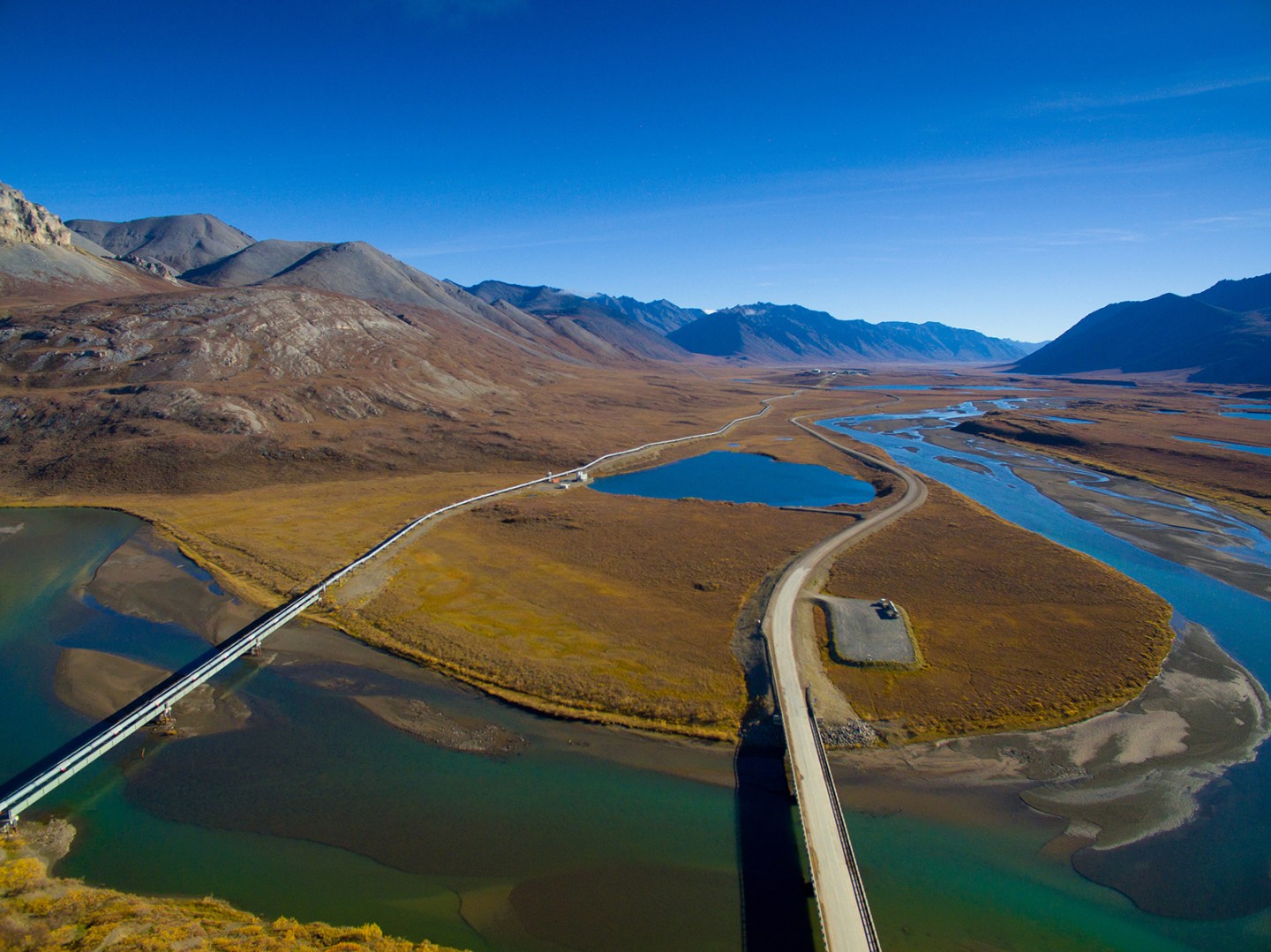
InSAR enhances surveillance and predictive maintenance by providing regular updates on surface movement and changes along the alignment and in the surrounding areas.
InSAR通过定期提供沿线周边区域的地表运动及其变化,强化了管线等线性基础设施监测能力,助力预见性维护。

historical dataInSAR offers a cost-effective solution for long-term monitoring programs, reducing reliance on traditional, more expensive in-situ techniques.
InSAR的经济与高效尤其适用于对全域尺度的长期监测,其应用可有效减少对传统测量方法较为昂贵的现场仪器作业的依赖。

landslidesIn areas prone to natural hazards,In areas prone to natural hazards, InSAR can reveal historical and current ground displacements, aiding in landslide inventory mapping.
应用InSAR技术可以探测地表位移,评估历史以及当前的地表不稳定性,对管线沿线及周边地区开展滑坡风险评估,并辅助滑坡编录图的编制,为管线设施的安全性保驾护航。

hbuffer analysisInSAR data can be used to classify areas along the infrastructure based on movement rates, enabling prioritization of resources and focused attention on vulnerable sections.
InSAR数据可以根据位移速率等参数,对沿管线指定范围内的区域进行评估,识别高风险管段。这使得运营方能够优化资源的分配,并专注于管线的薄弱区域。

string(0) ""